 Acocks Green History Society
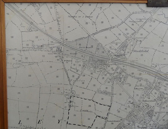
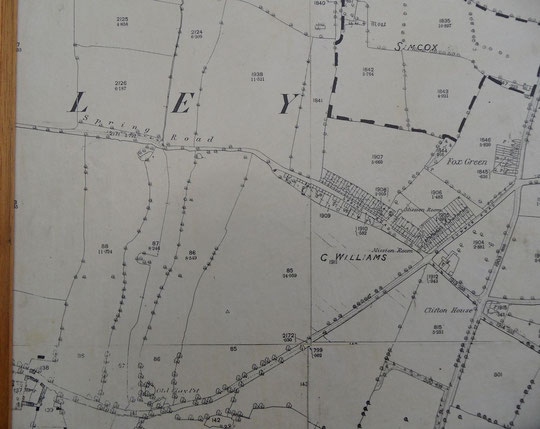
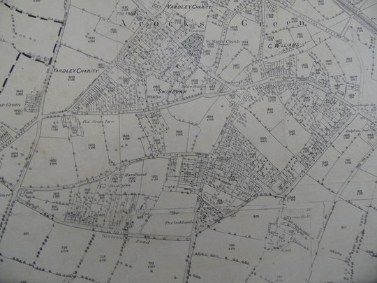
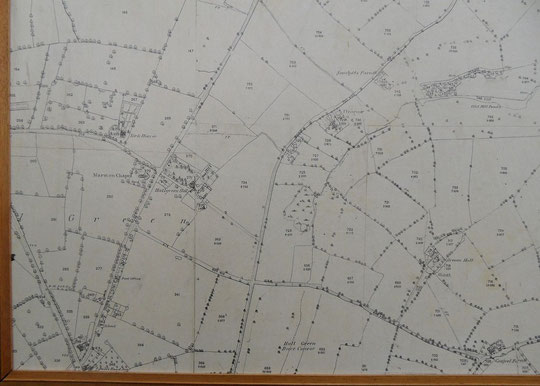
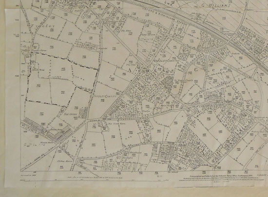
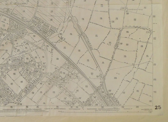
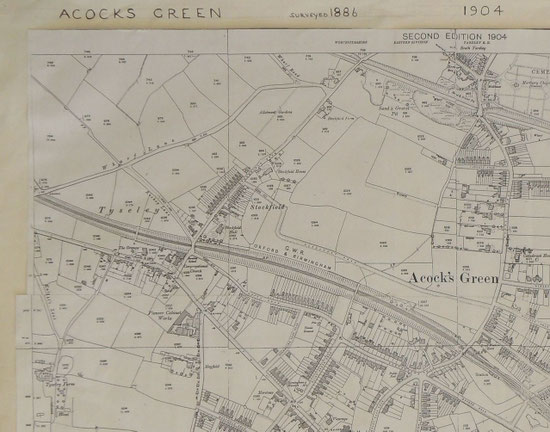
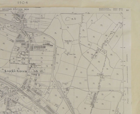
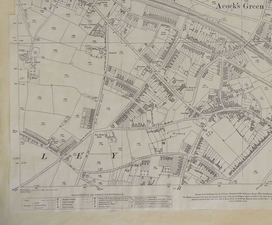
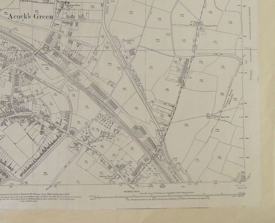
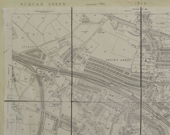
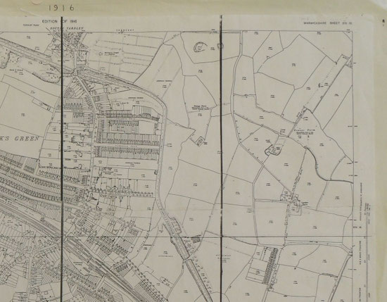
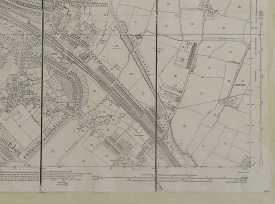
25 inches to one mile maps 1886-8 to 1937
The first nine maps are a composite of two of the 1880s 1st edition maps. The lower part is not reproduced in the sequence of maps lower down the page under "Acocks Green and Olton".
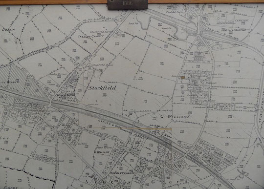


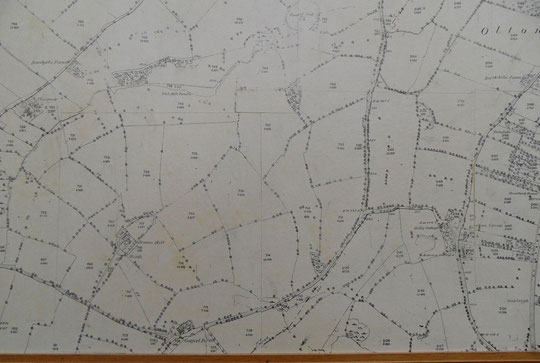


There is no 1937 edition of this map.
Part of the 1880s edition of the map below can be seen at the top of the page.


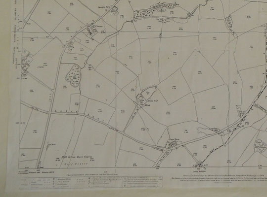
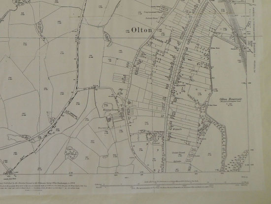


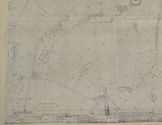


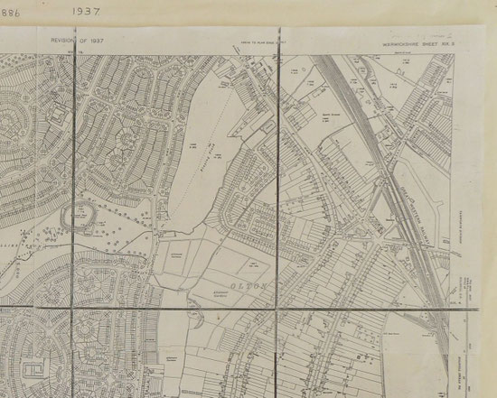
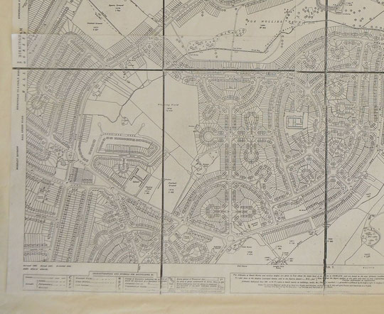

These images are of the Ordnance Survey 25 inches to one mile maps. They were taken with a compact digital camera. They overlap, so if an area is unclear, the adjacent map may be better. Each image is large, so may take some time to load. The later six inch maps are better quality, but show less detail.
It is now possible to see the sequence of large-scale O.S. maps online at www.old-maps.co.uk. Use a postcode or write the road name and part of the postcode, then choose the 1:2,500 maps up until 1952-4 (there is no map at this scale for the 1930s). Use the enhanced zoom and the plus and minus buttons to change how close you wish to see the houses. The map can be dragged by using click and hold as normal.
Double-click the file name to open each map.